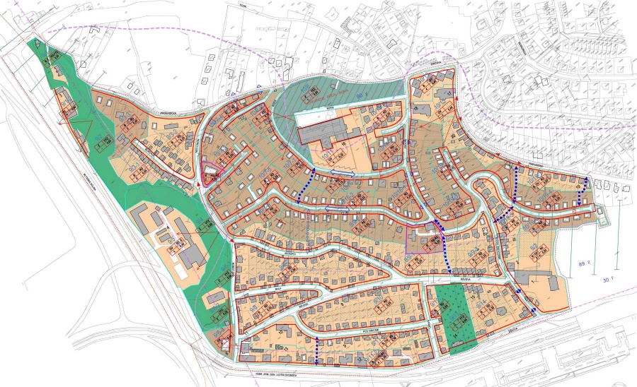
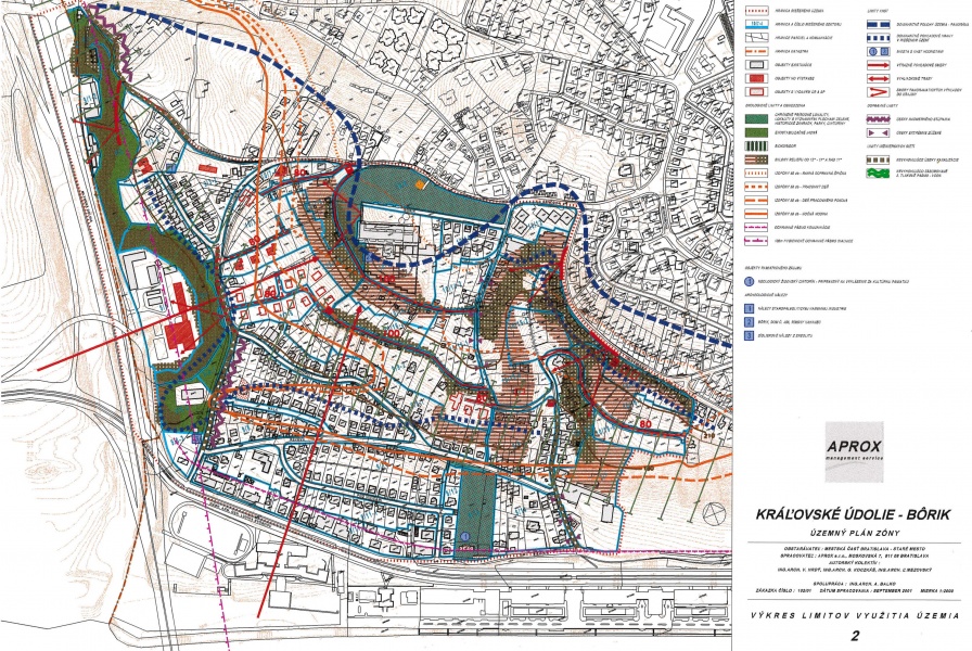
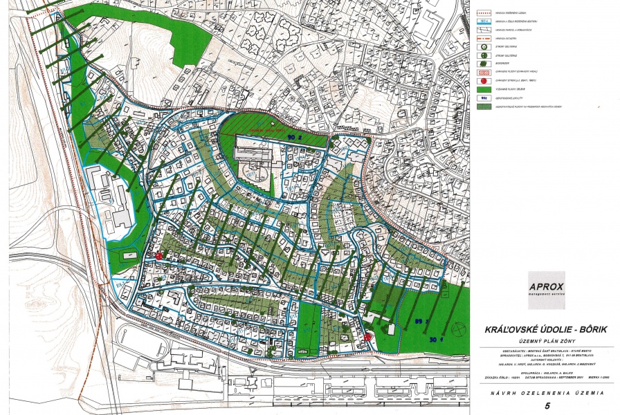
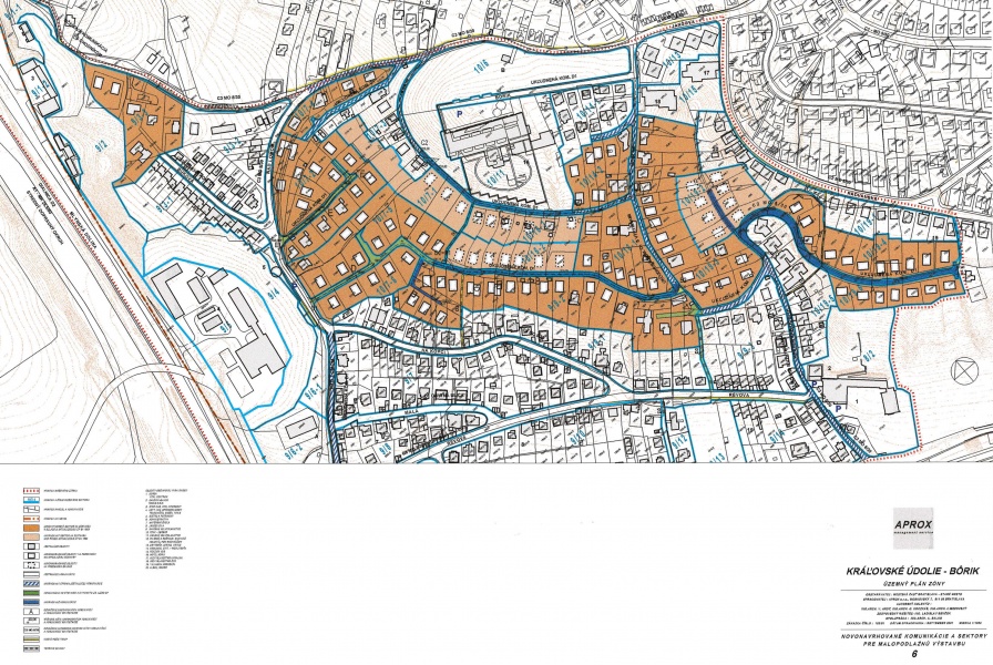
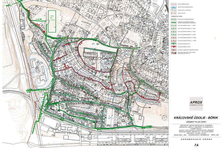
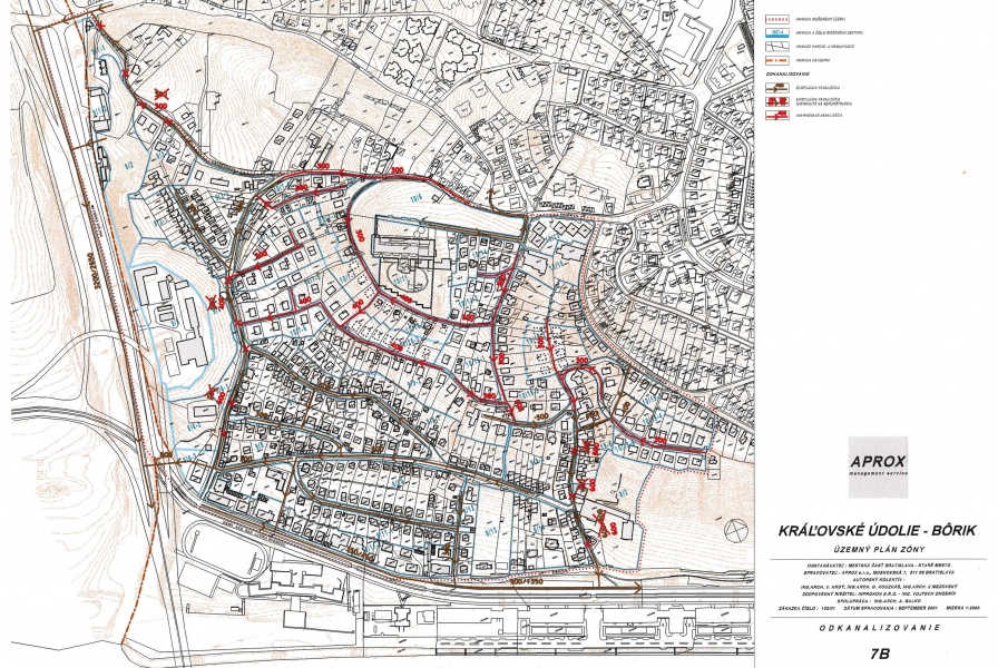
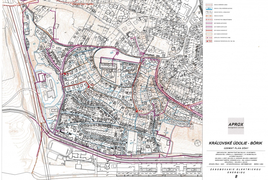
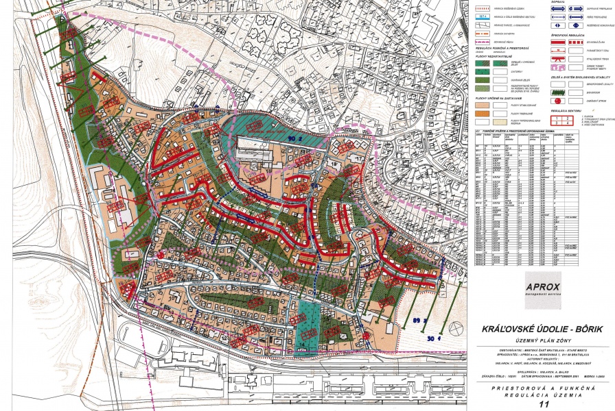
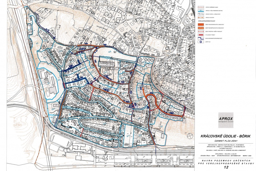
Zoning plan of Kráľovské údolie - Bôrik, Bratislava - Staré Mesto - APROX
1970
portfolio_page-template-default,single,single-portfolio_page,postid-1970,bridge-core-3.2.0,qode-page-transition-enabled,ajax_fade,page_not_loaded,,vertical_menu_enabled,paspartu_enabled,paspartu_on_top_fixed,paspartu_on_bottom_fixed,vertical_menu_inside_paspartu,side_area_uncovered_from_content,vss_responsive_adv,vss_width_768,qode-content-sidebar-responsive,qode-theme-ver-30.7,qode-theme-bridge,disabled_footer_top,disabled_footer_bottom,qode_header_in_grid,qode-wpml-enabled,qode-portfolio-single-template-1,wpb-js-composer js-comp-ver-7.9,vc_responsive

Zoning plan of Kráľovské údolie – Bôrik, Bratislava – Staré Mesto

project:

2005 - 2008

authors:

APROX architects and architect V. Hrdý

Date
Category
Urbanism

The zoning plan predetermined a heterogeneous development within the location. The location Kráľovské údolie – Bôrik is situated on southern and south-western hills above the Danube in Staré Mesto district. The surface of the plot under consideration totals approximately 58 hectares. The direct contact with the Danube is disrupted by the riverside street Nábrežie arm. gen. L. Svobodu which functions as a collecting road.